- Site Indexes
- Search by Keyword
- Search by Topic
- Search by Place
- Things to Do
- Entertainment
- Recreation
- History
- Basics
- Accommodations
- Have Some Fun
- Fun Stuff
- Kid Stuff
- Food and Recipes
- Send a Postcard
- Wallpaper
- Our Site
- Site Info
- Contact Us
- Home
xxxx
xxx

x
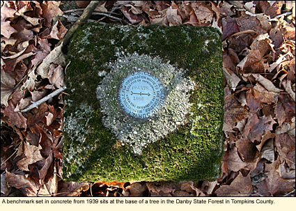
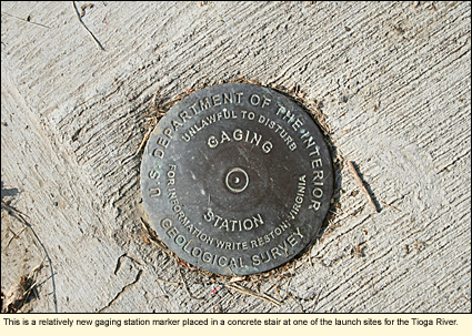
Home > RecreationGeocaching and Benchmark Hunting in the Finger LakesGEOCACHINGGeocaching is a popular recreational activity in the Finger Lakes with thousands of caches in public gardens, state parks, cities, and along rivers to name just a few general areas.
To get started geocaching or looking for geocaches in the Finger Lakes, here are some things you should know.
1. Geocaches are NOT permitted at Montezuma National Wildlife Refuge or on properties owned by the Finger Lakes Land Trust. 2. To place a geocache in a state park, you must have a permit from the park office.
♥ Many of the convention and visitor's bureaus in the region have their own caches and some offer incentives for finding them. Check with the individual CVBs for their programs.
♥ The businesses along New York State Routes 5 and 20 have set up a series of geocaches. Since the 20 caches are all along the same route and you can mix caching with antiquing, dining, and other activites, it creates a great hunt where you don't have to slog through the woods. Click here to find out more.
♥ Combine kayaking and geocaching along the Sojourn Geocache Trail. Watch for eagles, otters, and black bears as you search for 25 caches hidden along Chemung and Susquehanna rivers.
♥ If you're looking for a geocaching tour guide, check out Cameron at Waymarking.
|
|
|